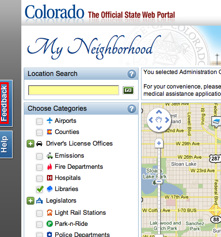
Thank you for visiting My Neighborhood Mapping Tool at Colorado.gov.
This Google Map will provide you with valuable neighborhood information in the State of Colorado. Colorado.gov hopes that you will find the My Neighborhood tool to be user friendly and informative. If you are unable to find information you believe would be beneficial or have found incorrect information, please submit feedback using the Feedback button on the left hand side of the My Neighborhood map in your internet browser window.
Overview
Explore ways to find the information you want.
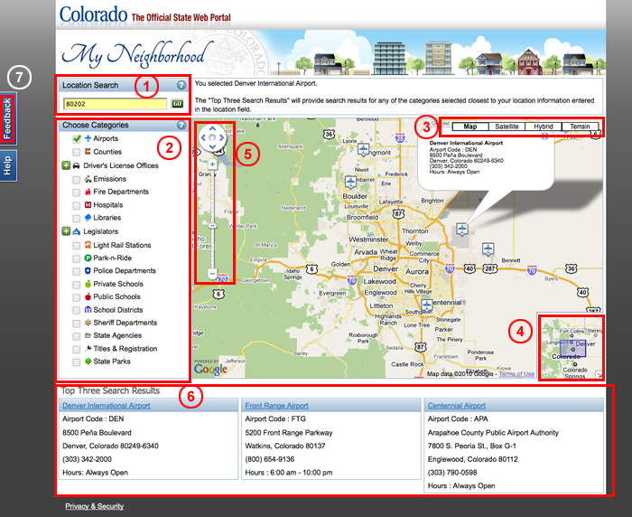
This map has five active controls:
- Location Search - Search by street address, city, county, and/or zip code.
- Choose Categories - Select categories to refine your search by type.
- Map View - View the map in the format that makes it easier for you to see the search results. Choose from Map, Satellite, Hybrid or Terrain view.
- Navigation View - The purple box in the bottom right hand corner is the area being shown in the large view of the map. Use your mouse to drag the box and change the large map view.
- Map Zoom, Click and Drag - Use the zoom, click and drag tools located in the upper left hand corner of the map to pin point a desired location.
- Top Three Search Results - The section below the map displays the top three results for each search criteria entered and selected.
- Feedback Information - Help us by providing valuable feedback by using the Feedback button on the left hand side of the My Neighborhood map in your internet browser window.
Each control updates the map separately. For best results, use the controls collectively to narrow your search. Using more controls may result in slightly slower load times.
Location Search
Use the Location Search control to search by a street address, city, county and/or zip code. Enter your location information and press the "Go" button. The map will zoom to the point nearest to the location for your search. If you are looking for a county having the same name as a city, enter (for example) "Denver county".

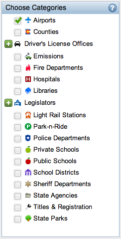
Choose Categories
The category items can be expanded by clicking the green "+" icon button to show sub-categories. To select a category, select the checkbox to the left of the desired category. To deselect a category, uncheck the checkbox for the selected category. When you choose "Select All", the checkboxes for all items in the category are checked. To unselect all, uncheck the "Select All" checkbox.
As you select and deselect items, the Google Map will redisplay locations based on your search and selections. The map's categories are indicated on the Google Map by the icons that appear to the left of the main category. The icon on the Google Map corresponds to the category item for your search. Note that your search may match more than one category if multiple categories are selected.
If you are unsure of the purpose of a category item, press the ? and a pop-up window will explain.
Map View
Changing the way the Google Map is displayed may provide visual aids in your search. Each of the views display the map differently. Choose the view that suits your visual needs best.
Navigation View
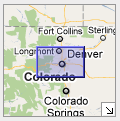
You can also use the navigation view drag box at the bottom right of the map.
The purple shaded area represents your view of the larger map area. Click and hold the purple box to adjust your view on the map, causing the map to zoom to the new location when you unclick the purple box.
Map Zoom, Click and Drag
Zoom In / Out
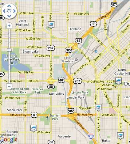
If you see too many icons bunched together on the map, try zooming in.
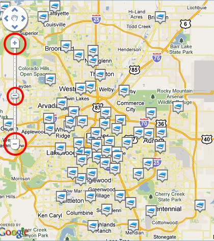
If you don't see any icons on the Google Map, try zooming out.
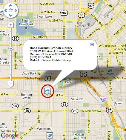
Click
You can click the icons on the Google Map to see more information about that location.
(Note that sometimes multiple locations may occupy the same location, especially government buildings and office towers.)
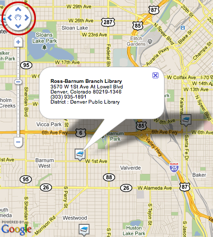
Drag
You can use the navigation control in the top left of the map to adjust your view. You may also click and drag the map surface in any direction to display the details of that area.
Top Three Search Results
Whenever you select an icon on the Google Map, that location and the next two closest sites are listed below the map:
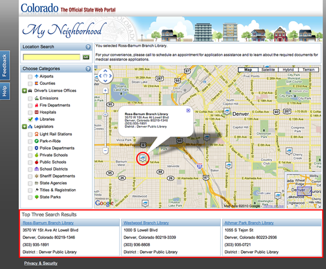
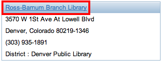
In the Top Three Search results if you click the link for another location the GoogleMap will center on that new location:
Feedback
Use the feedback link, to the left of the My Neighborhood Google Map, to provide your comments and suggestions for using and improving the My Neighborhood tool.
